

Greece: Cloud top height
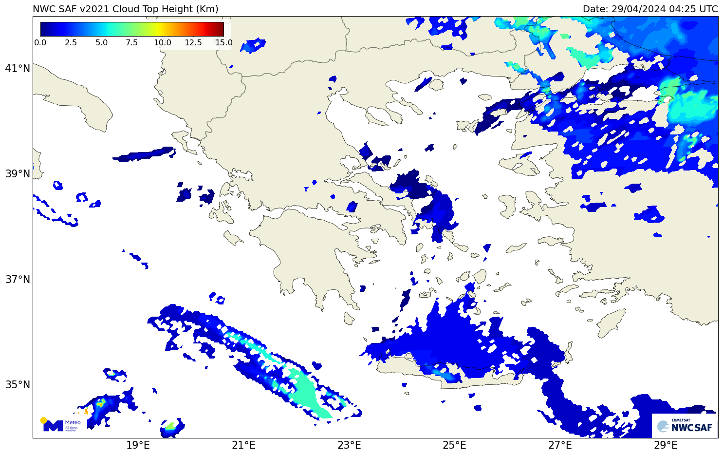
Cloud Top Height (CTH) is part of the Cloud Products (CTTH) which is one of the EUMEΤSAT ‘s (European Organisation for the Exploitation of Meteorological Satellites) NWC SAF (Satellite Application Facility on support to Nowcasting) products. The National Observatory of Athens has installed and operates the 2021 version.
CTH is estimated every 15 minutes, using imagery from the geostationary meteorological satellite Meteosat and modeled data from the GFS global numerical weather prediction model. CTH is an instantaneous parameter, providing an estimation of the height of the cloud top at the time of the satellite image.